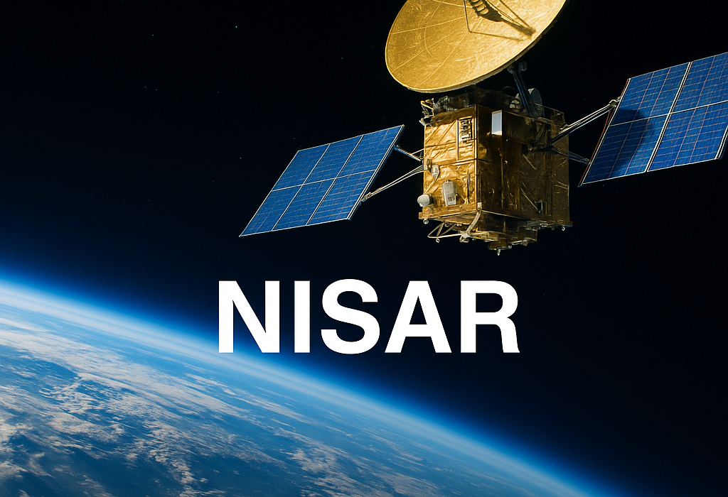
On July 30, 2025, the NASA–ISRO Synthetic Aperture Radar (NISAR) satellite was launched into a sun-synchronous polar orbit aboard India’s GSLV‑F16 rocket from the Satish Dhawan Space Centre at Sriharikota. This $1.3–$1.5 billion mission marks the first full Earth observation collaboration between the U.S. and India. Weighing 2,392 kg, NISAR is equipped with dual-frequency radar systems—NASA’s L-band and ISRO’s S-band—making it unique in providing all-weather, day-and-night monitoring with precision down to centimetre-level ground changes.The Times of India
Engineers transported NISAR from Bengaluru to the launch site in May 2025, where final assembly and testing took place. It will begin full scientific operations after a 90-day commissioning period. Data will be openly available globally shortly after capture, except in emergencies when faster release is required.NASANews
Key Details
- Dual SAR Instruments: NISAR carries two Synthetic Aperture Radars, enabling it to penetrate clouds and vegetation continuously and accurately.Wikipedia
- Global Coverage: The satellite will scan nearly all land and ice surfaces twice every 12 days.NASA-ISRO
- Data Openness: Collected data will be publicly available within days, aiding science and disaster response.The Times of India
- Mission Duration: Designed for a minimum of three years, with potential for extension.India Blooms
What It Means for the Future
1. Enhanced Climate & Disaster Monitoring
NISAR’s radar capabilities allow it to detect subtle land deformation from earthquakes, landslides, glacier movements, and floods. It will significantly strengthen global capacity for early disaster warnings and climate change tracking.NASA Science
2. Milestone in International Space Collaboration
As NASA and ISRO’s first joint Earth-observing satellite, the mission exemplifies successful global cooperation, following a decade of preparatory work and investment.YouTube
3. Technological Innovation
It’s the first dual-frequency radar satellite, combining L-band and S-band SAR to capture high-resolution imagery in diverse conditions—day or night, rain or shine.NASA Science
4. Open Data for Science and Policy
Mission data will be made publicly available—promoting transparency and supporting researchers globally in fields like glaciology, geology, agriculture, and environmental science.Indiatimes
5. Foundation for Future Cooperation
Successful operation may pave the way for further international projects such as lunar or deep-space missions, leveraging shared infrastructure and data standards.NatureWikipediaAxios


Leave feedback about this
You must be logged in to post a comment.